• About us
    • Latest News
    • Preserves, Trails, & Archives
    • Water's Edge Newsletter
  • Programs
  • Contact
  • Join/Donate
Menu

Gratiot Lake Conservancy

P.O. Box 310
Mohawk, MI 49950
Phone Number

Your Custom Text Here

Gratiot Lake Conservancy

  • About
    • About us
    • Latest News
    • Preserves, Trails, & Archives
    • Water's Edge Newsletter
  • Programs
  • Contact
  • Join/Donate
IMG_2371.JPG

GLC News

Donation of 198 Acres at Gratiot Lake

November 25, 2019 Bonnie Hay
GLC Sec 4 photo LLizzadro 2019 DJI_0036-2enhancedRESIZE.jpg

In July, Lizzadro Farms Inc. donated additional land to GLC.  The 198 acre parcel is indicated on the map below as the gray area in section 4 at the northern tip of the lake. This new GLC land adjoins “Sandy Beach” (the gray area in section 3 below) which was donated to GLC in 2018.

 The wooded parcel includes the mouth of Sucker Creek and approximately 3,500 feet of mostly cobble shoreline. Sucker Creek is a high quality feeder stream to Gratiot Lake. Historically, Sucker Creek is known to anglers and eagles alike as a location for springtime smelt and white sucker runs. These fish swim up freshwater streams to breed.

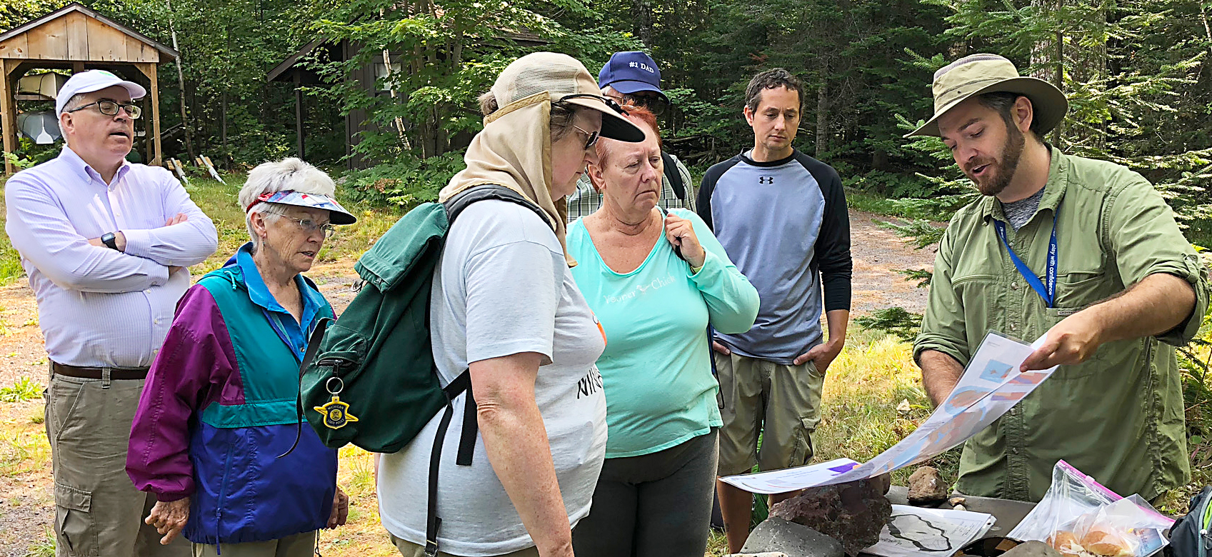
 While much of Gratiot Lake is underlain by Jacobsville sandstone, this forested slope steeply rises from the lake on volcanic basalt bedrock. The Keweenaw Fault runs through it, under the tip of Gratiot Lake, and towards Lac LaBelle. The wooded slope meets the narrow shoreline near the lake’s deepest hole (over 70’ in depth). It is hypothesized that during the last Ice Age a glacier rose as much as two miles above the bedrock here and created the deep “plunge pool” as its melt cascaded and scoured into the basin that is now Gratiot Lake.

In GLC News Tags Geoheritage, Land
Comment

Geo Tour at Gratiot Lake

December 4, 2018 Program Director GLC
_IMG_0942_web.jpg

Two pontoon sessions were needed to accomodate the number of participants for GLC board member and geologist Daniel Lizzadro-McPherson’s geo-tour at Gratiot Lake.

From the pontoon boat and at the GLC Preserve participants viewed the amazing topography of Gratiot Lake, a 10,000-year-old glacially formed plunge pool carved out of 960-million-year-old Jacobsville sandstone. The lake’s mountain-backed northeastern shoreline marks an important geologic boundary, the Keweenaw Fault. One-billion-year-old lava flows (known as the Portage Lake Volcanics) sitting high above the Gratiot Lake have been thrust up and over the younger Jacobsville sandstone. The Keweenaw Fault is inferred from the sharp change in topography and bedrock.

_IMG_0986_web.jpg _IMG_0987_web.jpg _IMG_0952_web.jpg _IMG_0959_web.jpg _IMG_0989_web.jpg _IMG_0972_web.jpg Geotour in NobletsIMG_0984.jpg

From the boat, Daniel was able point out the evidence of powerful forces that formed what on that summer day seemed a placid landscape. The group also visited the Gratiot Lake Conservancy land to identify shoreline pebbles and boulders and to picnic at the Noblet Field Station.

Daniel is in the process of mapping this specific segment of the fault as part of his Master’s thesis at Michigan Tech. He has done work on Keweenaw GeoHeritage, fieldwork on the Keweenaw fault to enhance the USGS EdMAP, and is a GIS analyst at Michigan Tech’s Great Lakes Research Center.


Part of the tour was put on YouTube by participant Robin Mueller and can be viewed at
https://youtu.be/adNNmZ1V3Bs


Below are related sources

Geologist Bill Rose’s Geoheritage website page about Gratiot Lake: http://www.geo.mtu.edu/KeweenawGeoheritage/The_Fault/Gratiot_Lake.html

Geologist Bill Rose’s Geoheritage website page about Gratiot Lake:
http://www.geo.mtu.edu/KeweenawGeoheritage/The_Fault/Gratiot_Lake.html

How the Rocks Connect Us: A Geoheritage Guide to Michigan’s Keweenaw Peninsula and Isle Royale, by Bill Rose and Ericka Vye with Valerie Martin.  This handbook is a comprehensive overview of underlying geologic features and their influence on human …

How the Rocks Connect Us: A Geoheritage Guide to Michigan’s Keweenaw Peninsula and Isle Royale,
by Bill Rose and Ericka Vye with Valerie Martin.
This handbook is a comprehensive overview of underlying geologic features and their influence on human life and the history of the region. It has lots of photos and maps that clearly illustrate information presented. The text is concise and understandable so a geology degree is not required to understand it. Handy links to further information on the geoheritage website are with each topic and location highlighted. This book is available at some local stores, at the Keweenaw National Historical Park Visitor Center in Calumet, or from the Isle Royale & Keweenaw Parks Association at https://irkpa.org/.

In GLC News Tags Geoheritage, GLC Programming
1 Comment

Est. 1998 | P.O. Box 310, Mohawk, MI 49950

POWERED BY SQUARESPACE.